Have you heard about the Baltimore & Potomac Tunnel project? One replacement proposed for this aging tunnel threatens to demolish several blocks of historic West Baltimore. Four public meetings in April offer opportunities to learn more about the project and share your views.
What is the B&P Tunnel Project?
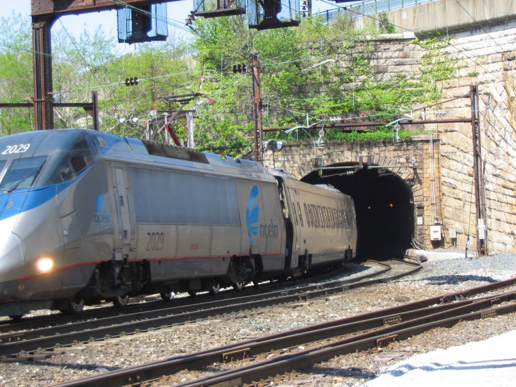
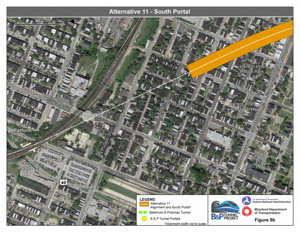
The Baltimore and Potomac (B&P) Tunnel is a railroad tunnel on Amtrak’s Northeast Corridor (NEC) line in use between Penn Station and the West Baltimore MARC Station for over 140 years. Today, the tunnel is used by Amtrak, MARC Commuter Rail and Norfolk Southern Railway. It is also a bottleneck affecting the reliability of rail service up and down the northeast. One proposed replacement to the B&P Tunnel (known as Alternative 11: Robert Street South) provokes serious concerns about the demolition of historic buildings in West Baltimore. Please come out to a public meeting this month to learn more about the B&P Tunnel project and voice your concerns about the long-term consequences of Alternative 11 on historic West Baltimore neighborhoods.
Last year, the Maryland Department of Transportation (MDOT), Federal Railroad Administration (FRA), and Amtrak started work on a study to evaluate the condition of the existing tunnel and propose alternatives for rail service through Baltimore. After public meetings in June and October 2014, the project published a Preliminary Alternatives Screening Report (pdf) that identified and evaluated 16 possible options (illustrated in the map below).
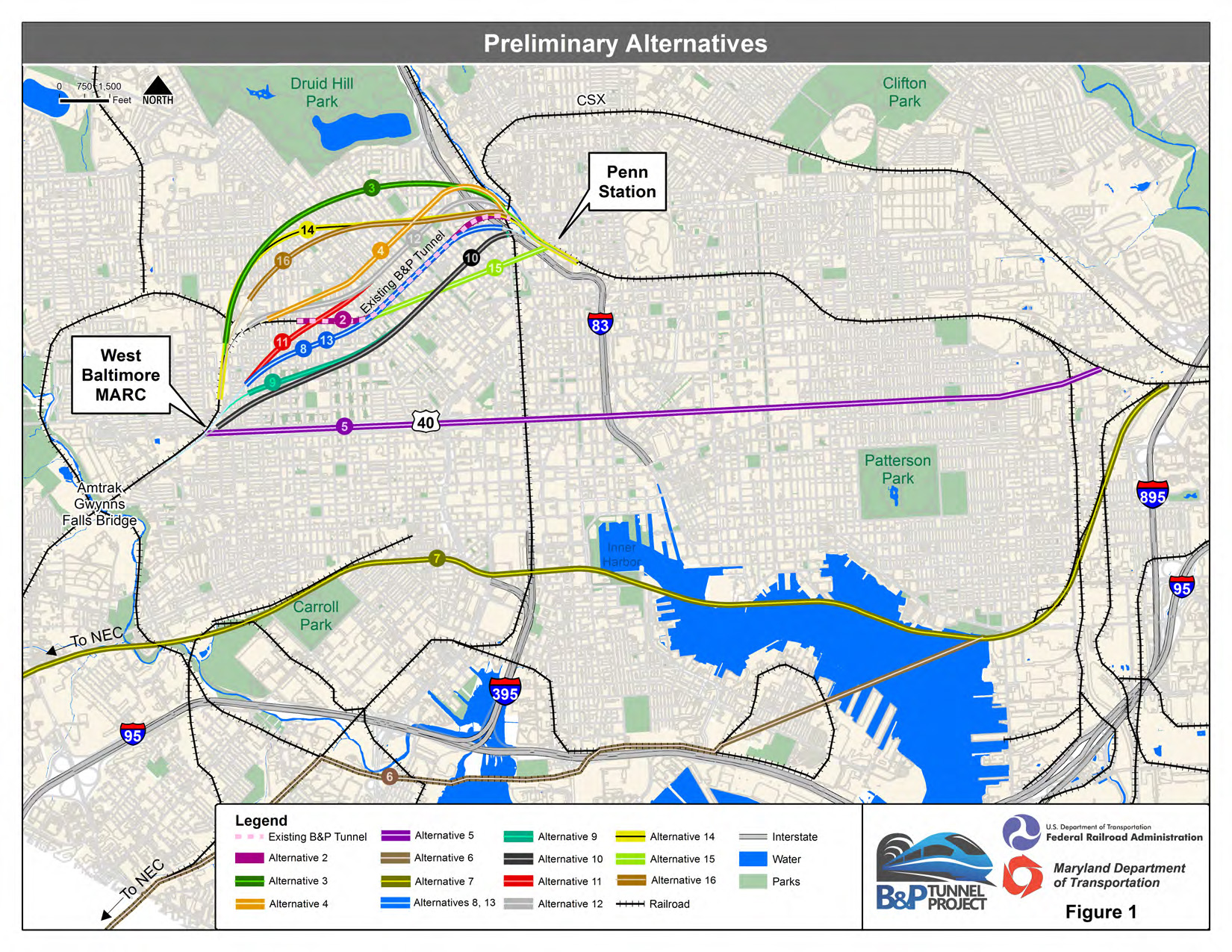
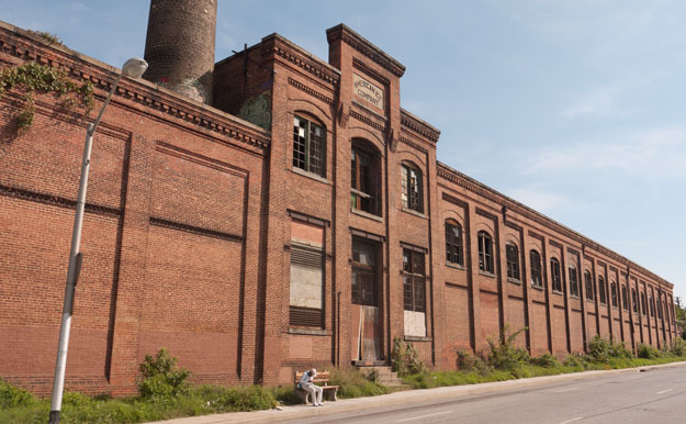
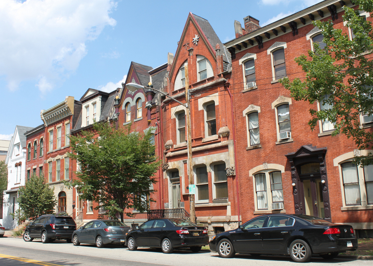
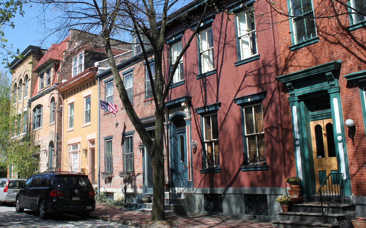
This preliminary review selected four alternatives to advance to a second round of review. Building nothing (Alternative 1) or rehabilitating the existing tunnel (Alternative 2) are two options that are unlikely to meet the long-term need for improved rail service. The two remaining options (Alternative 3: Great Circle Passenger Tunnel and Alternative 11: Robert Street South) both require expensive new tunnels. Unfortunately, Robert Street South also appears to require the demolition of several blocks of historic rowhouses within the proposed Midtown Edmondson National Register Historic District and demolition of the 1911 American Ice Company.
Learn more or share concerns at a public meeting in April
Starting next week, MDOT, FRA, Amtrak and the Baltimore City Department of Transportation are hosting a series of meetings to offer members of the public an opportunity to learn more about the project, ask questions and offer input on the process.
All four meetings are scheduled from 6:00 p.m. to 8:00 p.m., with a formal presentation starting at 6:30 p.m. The same information will be shared at each meeting in the series:
- Monday, April 13 at Gilmor Elementary, 1311 North Gilmor Street
- Tuesday, April 14 at Mt. Royal Elementary, 121 McMechen Street
- Monday, April 20 at Westside Elementary, 2235 North Fulton Avenue
- Tuesday, April 21 at Lockerman Bundy Elementary, 301 N. Pulaski Street
To be added to the project mailing list, or to submit your comments, please email info@bptunnel.com. For other questions or for special accommodations at any of these upcoming public meetings, contact Ms. Odessa Phillip, PE, Environmental Project Manager at the Baltimore City Department of Transportation at (410) 396-6856 or Odessa.phillip@baltimorecity.gov.
More open house meetings are planned for this spring and summer. Additional background on this issue can be found on the project website, our own issue profile on the B&P Tunnel Project or The Baltimore Sun coverage from November 2014.
