
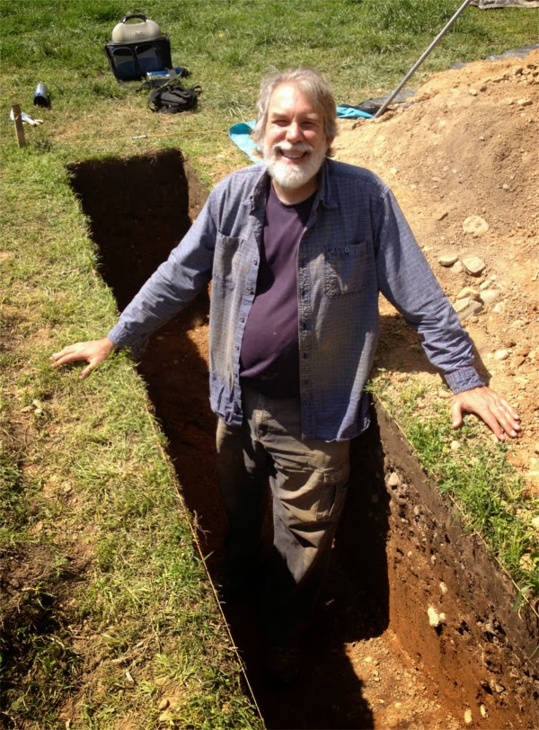
Thanks to Dr. John Bedell for sharing his experience digging this past Saturday and explaining the stratigraphy that shows the remains of the 1814 earthworks below Observatory Hill at Patterson Park.
In 
It’s hard to make out but if you enlarge the pictures above and look closely you can see five distinct layers in the soil:
- At the top (A), is dark grayish brown topsoil. Below that is a mixed-up layer with numerous rocks (B), which is landscaping fill put down in the early 1900s when the Olmsted Brothers beautified the park. We have found both of these layers everywhere we have dug.
- Beneath the landscaping fill is the 1814 ditch. The top layer of in the ditch (C) is a mix of the landscaping fill with the older trench fill. Beneath that is a layer of sand (D) that washed into the ditch in the decades after it was abandoned, untouched since before the Civil War.
- Below that (E) is the natural subsoil.
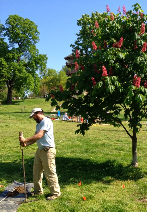
We tried our first group of auger tests 75 feet from our last trench, and we think we identified the fortification ditch there, along the same line. But 150 feet down the line we did not find it, so we suspect that it has curved. Fortunately, we still have a few more days to sort this out.