Editor’s note: We’re excited to welcome Jennifer Ferretti as our very first guest photo-blogger! For the past few years, we have enjoyed following the MdHS Photographs Tumblr (curated by Jenny for the Maryland Historical Society) and saw that she brought the same visual photographs for and crisp shots of Baltimore’s architecture today. We
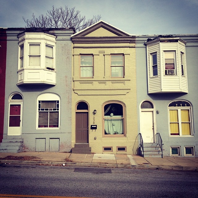
Baltimore rowhouses can differ by neighborhood and by block. There are the tall rowhouses in Midtown, narrow alley houses and former carriage houses in South Baltimore, and the shorter blue-collar houses in neighborhoods like Hampden. Some of the city’s rowhouses have been altered with the addition of plastic siding, formstone, bricked-in windows, and the removal of certain exterior architectural details. In some instances, the houses have been vacant for so long it’s difficult to imagine them as ever having been inhabited.
I often refer to Google Maps Street View to capture a then-and-now of the historic photographs I post on the MdHS Photographs tumblr. Sometimes the photos I post and the Google Maps Street View is as much as 100 years apart. When I take a look at Google Maps after photographing a block myself, sometimes the then and now difference is just as astounding as the difference when I look at historic photographs. Google Maps serves as an archive of how the city looked just a few short years ago when the panoramic camera rolled through the streets.
With the addition of the Baltimore Design School and City Arts Apartments, Federal, Barclay, Oliver Streets in the Greenmount West neighborhood have made a dramatic change. There are more residents and less vacant houses, causing me to take a new look at this area. It’s impressive how quickly a neighborhood can change for the better and it’s obvious that this change is accelerated when the city decides to invest in a certain area.
[googlemaps https://maps.google.com/maps?q=federal+street+and+barclay+street+baltimore+md&ie=UTF8&hq=&hnear=Barclay+St+%26+E+Federal+St,+Baltimore,+Maryland+21202&gl=us&ll=39.307916,-76.610699&spn=0.013166,0.022852&t=m&z=14&layer=c&cbll=39.307835,-76.610694&panoid=CHkJjncYLG4xZCO8FGiu0w&cbp=12,295.43,,0,6.68&source=embed&output=svembed&w=425&h=350]
